- Home
- Yooper Counties
- Luce County Michigan
LUCE COUNTY, MICHIGAN
by Suzy Miller, August 19, 2026
Population: 5,339 (14th)
Pop. Density: 5.91 people/sq. mile (13th)
Land Area: 903 sq. miles (13th)
Water Area: 1,009 sq. miles (7th)
County Seat: Newberry
Towns: McMillan, Newberry
 Luce County Map
Rand McNally, 1911
The forest doesn’t just line the road in Luce County; it swallows it whole, creating a silent, misty world that feels untouched by time.
It's bordered by Lake Superior to the north, with about 32 miles of shoreline along the county's edge.
On land, it's surrounded by three other Upper Peninsula counties: Chippewa to the east, Mackinac to the south, and Schoolcraft to the southwest. The western border touches Alger County.
Luce County Formation & Naming
Luce County was set off and organized by legislative act dated March 17, 1887, from portions of Chippewa and Mackinac counties.
It’s named for Cyrus G. Luce, Michigan’s twenty-first governor, who served from 1887 to 1891. Luce was a passionate advocate for the development of the Upper Peninsula.
He worked to improve infrastructure and support the mining and logging industries that were the lifeblood of the region at that time. He was the last Michigan governor to have a county named in his honor.
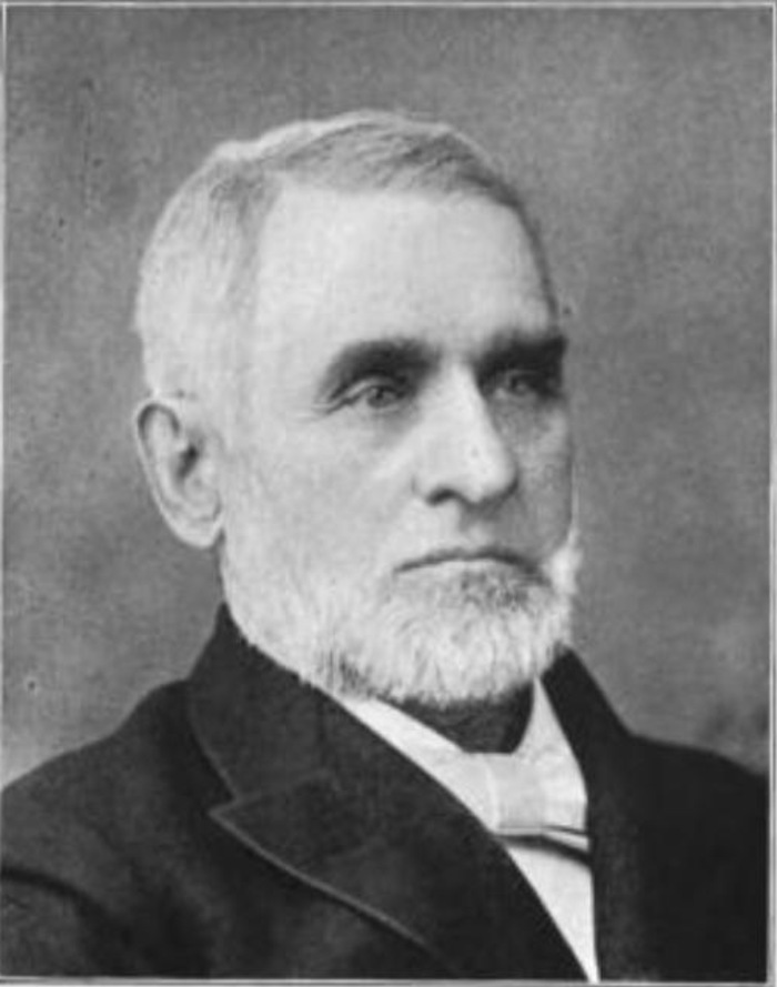 Cyrus Luce, former Michigan Governor, circa 1900
Luce County Seat & Population
Newberry is the county seat and the only incorporated village. The 2020 census recorded 5,339 Luce County residents, making it the second-least populous county in Michigan.
The population is small and rural, spread thinly across nearly 900 square miles of land that is more forest and wetland than settlement.
History of Luce County
The land belonged to the Ojibwe (Chippewa) for centuries. They hunted, fished, and traveled the rivers and Lake Superior shore. French traders and missionaries arrived in the 1600s, drawn by the fur trade.
Permanent settlement wasn't until the late nineteenth century, when the great white-pine forests of the Upper Peninsula brought loggers and railroads.
Newberry itself began around 1881 with the Vulcan Furnace, an iron-smelting works that used local charcoal. The Duluth, South Shore & Atlantic Railroad soon threaded through the area.
Logging camps sprang up along the Tahquamenon and other streams. Timber and a related chemical plant dominated the economy for decades.


After the big mills and the Newberry Lumber and Chemical Company faded by the mid-twentieth century, the state hospital in Newberry became a major employer for a time.
Today the county’s story is written in its public lands: Tahquamenon Falls State Park, Lake Superior shoreline, and the Two Hearted River made famous by Hemingway.
Forty percent of the county lies in state forest, and moose roam the backcountry in numbers that earned Newberry the official title of Michigan’s Moose Capital in 2002.
The landscape has shifted from industrial frontier to a life of self-reliance. Small-scale farming, fishing, and seasonal tourism are the primary economic drivers today.
Luce County - Cities, Towns & Communities
Newberry anchors the county as its sole village and commercial center. Beyond it lie the large civil townships of Pentland, Lakefield, and Columbus.
Smaller unincorporated places include McMillan and Deer Park. The Upper Tahquamenon Falls draw visitors year-round, while Crisp Point Lighthouse stands watch on the Superior shore.
In the woods near Newberry, Oswald’s Bear Ranch offers a rare glimpse of black bears raised in captivity, a local landmark that feels thoroughly Yooper.
Interactive Map of Luce County
We send out a free newsletter now and then to keep you up to date on our website. Just put in your email and check the boxes below.
By Mike Miller, Copyright 2020-2026 YooperSecrets.com